Mapping
Tickets
Mapping
Advanced | 2 Day Training
IF YOU ARE SALES TAX EXEMPT PLEASE DO NOT REGISTER ONLINE
Join Us For A 2 Day Advanced Mapping Course Class With Our Premier Training Partners, RTS Group!
UVT invites you to the University of Michigan campus for integral, hands-on training, designed to introduce public safety professionals to drone mapping techniques to enhance mission-critical operations. This two-day course, led by RTS Group, is built specifically for those in public safety, offering real-world applications that empower you to respond more effectively during emergencies.
Throughout the course, you’ll participate in practical mapping exercises, explore essential software, and engage in scenario-based training that reflects the critical situations public safety professionals face daily. Our expert instructors will guide you step by step through the process, ensuring you leave with the skills to execute aerial mapping missions that directly support your team’s objectives.
UVT Academy
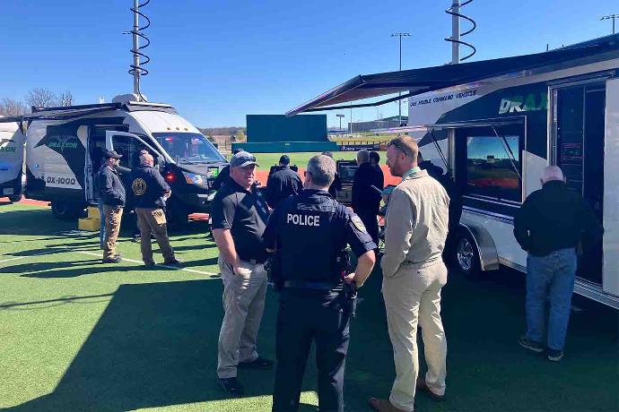
Your strategic partner in advancing Public Safety professionals proficiency and preparedness of mission-critical Unmanned Aerial Systems (UAS) operations. The UVT Academy is powered by RTS-Group, UVT's premier public safety training partner, and authorized LEDA UAS instructors offering NTOA courses.
Hands-On Mapping Exercises
Learn to collect and process data for real-time disaster response.
Expert-Led
Instruction
Learn from experienced and vetted professionals.
Real-World Public Safety Use Cases
Discover the precision and utility of mapping technology.
This course is ideal for public safety professionals—including first responders, law enforcement, and emergency management teams—looking to leverage drone mapping for greater operational efficiency. Whether you’re new to mapping or seeking to expand your skill set, this course will provide the knowledge needed to make real-time, data-driven decisions in the field.
Disaster Response & Recovery
Quickly assess damage from hurricanes, floods, and fires, guiding your teams to where help is needed most.
Register Here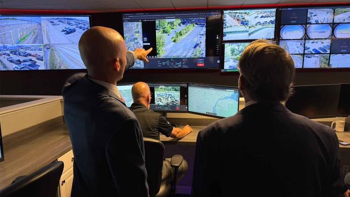
Search & Rescue
Create up-to-date maps of rugged terrains to improve coordination in finding missing persons faster and safer.
Register Here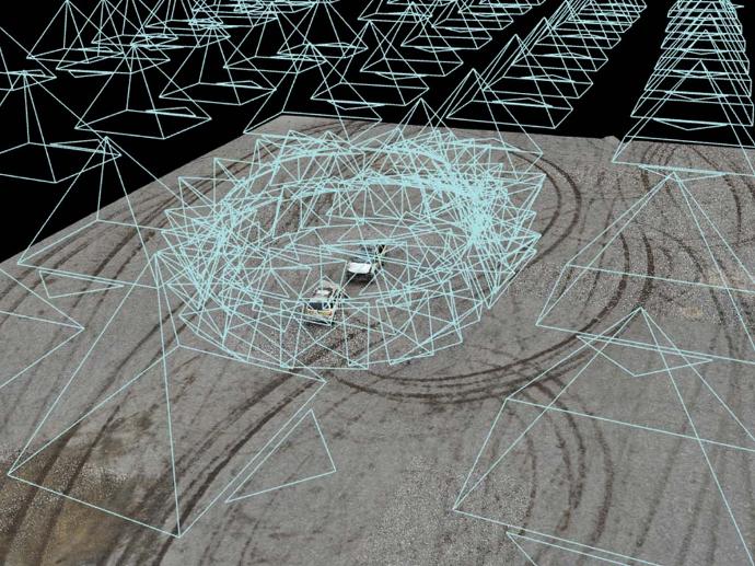
Accident Scene Documentation
Use high-resolution aerial mapping to reconstruct accident or crime scenes with precision, preserving evidence without disrupting the area for long periods.
Register Here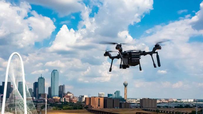
Tactical Infrastructure Monitoring
Map high-risk areas before raids or monitor critical infrastructure for vulnerabilities, all from the air.
Register HereFrom The Blog
Our subscribers are the first to hear our thoughts on all of the latest product releases and they get notified about any service bulletins or critical maintenance alerts.
Want in? Subscribe today!